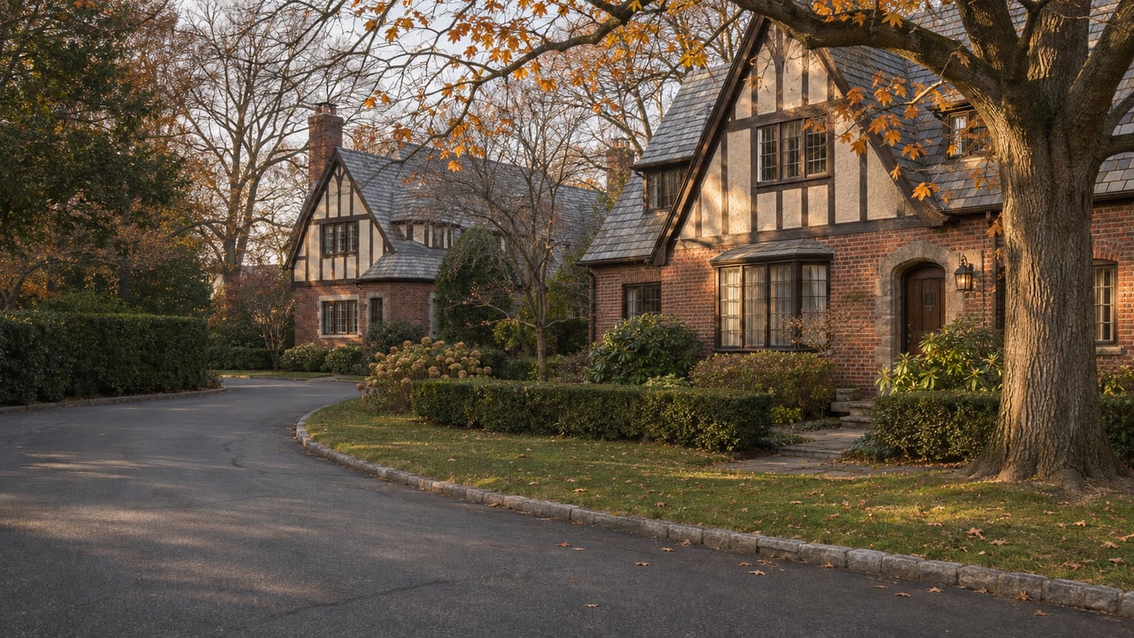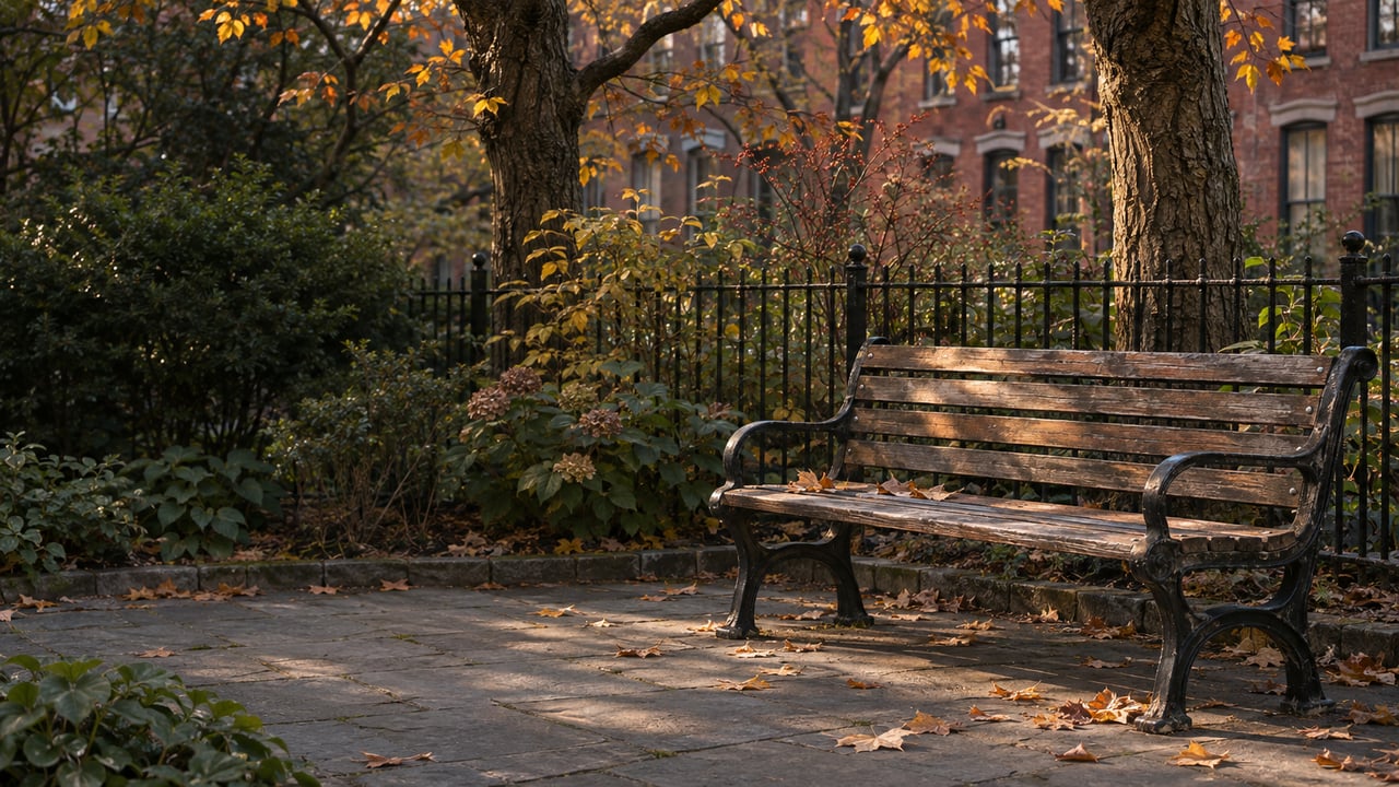
Harry Chapin Playground sits on top of the Columbia Heights overpass, at the north end of the neighborhood where Columbia Heights crosses the expressway. A few blocks south, the Brooklyn Heights Promenade sits on top of the triple cantilever. Both are built on the BQE. The city's new rehabilitation plan treats them very differently. The Promenade is something the plan sets out to protect. The playground is on a structure the plan proposes to take down and rebuild.
That gap matters more than any other single thing in the BQE Central Project. Most of the public argument has been about the Promenade, which makes sense after a decade of fights over it. But the Draft Scope of Work, dated October 2, 2026, and the Brooklyn Eagle's report on the town hall that followed show that the plan's heaviest direct footprint here lands on the pocket parks, playgrounds and park entrances clustered around Columbia Heights and Furman Street.
The Promenade is the part the plan was drawn around
Under the current proposal, NYC DOT would repair and strengthen the roughly 1.5 miles of highway between Atlantic Avenue and Sands Street. It would keep two lanes in each direction and leave the interchanges alone. The project page lists "Protect the Brooklyn Heights Promenade as part of the structure" among the project's goals and says the work would extend the highway's life by about 40 years.
To keep traffic off local streets during the repairs, DOT would build two temporary highways. One is a two-level bypass over Furman Street, from just north of Atlantic Avenue to Columbia Heights, sitting below Promenade level and no higher than today's Queens-bound deck. The other is a bypass starting at Columbia Heights that would pass over the Brooklyn Bridge approach and through DUMBO, rejoining the highway just west of the Manhattan Bridge. Construction is expected to start in 2029 and finish before 2040.
Seen from the Promenade, that is a different deal from the one the neighborhood fought in 2018. As Gothamist reported in August, the de Blasio-era plan would have put a temporary highway along the Promenade and closed it for six years. Deputy Mayor Julia Kerson said the new proposal "does lessen the community impacts of prior proposals" because it does not require a full closure. Portions would still close during construction, and DOT says access to portions will be maintained "to the extent feasible."
Moving the temporary roadway off the Promenade did not make the disruption go away. It moved it down to Furman Street and north to Columbia Heights.
The overpass that was rebuilt in August
The Draft Scope says DOT would "replace the superstructure of the Columbia Heights overpass and relocate and reconstruct its north abutment."
At the town hall in the Brooklyn Borough Hall courtroom, DOT's Chief Strategy Officer Tiffany-Ann Taylor explained what that means on the ground. The Brooklyn Eagle reported on November 2 that the plan as presented "requires the removal and total reconstruction of the north end of Columbia Heights and Harry Chapin Playground." The Eagle also noted that the Columbia Heights overpass had been rebuilt in August as part of the BQE's interim repairs.
The Eagle asked DOT staff at the meeting why the overpass would be rebuilt higher. Two employees answered, "I don't have that information." The paper pointed back to the Adams administration's own $5 billion plan, which also called for raising this section. In a federal grant request, DOT said a higher overpass would allow taller and bigger trucks on the BQE. A source quoted by the Eagle said that with the bypass, Harry Chapin Playground would be taken apart for at least 10 years.
So the most permanent change the plan proposes in Brooklyn Heights sits at the north end, under a playground. That is the part DOT has explained least in public.
The open spaces on the list
DOT's own environmental filing measures the scale. The Environmental Assessment Statement counts 132,402 square feet of parkland inside a directly affected area of 953,096 square feet, so about one-seventh of the footprint is parkland.
Here is where that parkland is, comparing the town hall presentation as the Eagle reported it with what the Draft Scope commits to studying:
| Open space | Town hall presentation, per the Brooklyn Eagle | Draft Scope of Work |
|---|---|---|
| Brooklyn Heights Promenade | Access to portions maintained "to the extent feasible" | Top level of the triple cantilever, from just south of Joralemon Street to Washington Street; effects to be evaluated in the EIS |
| Harry Chapin Playground | Removal and total reconstruction with the north end of Columbia Heights | Listed for EIS evaluation; overpass superstructure replaced, north abutment relocated |
| Squibb Playground, Hillside Park, Adam Yauch Park | Partial or total closure | Squibb Park, Hillside Dog Park and Adam Yauch Park listed for EIS evaluation |
| Anchorage Plaza, Clumber Corner, Bar and Grill Park | Partial or total closure | Listed for EIS evaluation |
| Bridge entrance to Brooklyn Bridge Park and other park entrances | Partial or total closure | Brooklyn Bridge Park listed for EIS evaluation |
The Draft Scope also says the project would take in "small sections of mapped parkland adjacent to the roadway." That requires alienation legislation in Albany, a home rule action by the City Council, and City Map amendments. Councilmember Lincoln Restler said the same thing from the political side at the town hall: "this process requires the approval of the city council and the state legislature."
The Furman Street edge
The Furman Street bypass is where the plan comes closest to Brooklyn Bridge Park. The Eagle reported that it would run 4 feet from the windows of some residences on Furman Street. Building the temporary highways would take two years, and taking them down at the end would take another two.
The berms along the park's inland edge were built to block sound and pollution from the highway. When a similar Furman Street bypass came up in 2023, the Brooklyn Bridge Park board and Conservancy warned in a letter that it would undo the berms' effect. In that letter, quoted by Gothamist, they said "the space between the existing highway and the park is still just the two lanes of Furman Street and one of those lanes is covered by the existing roadway."
The Draft Scope commits the Environmental Impact Statement to studying noise, air quality, shadows and park access in and next to these open spaces. The Draft EIS is due in 2027.
Where the plan can still change
DOT Commissioner Mike Flynn showed up near the end of the town hall and called the bypass "a starting point." According to the Eagle, he said, "I'd say at this juncture we'll take a look at any and all ideas. You just need to find things that are feasible." He named the earlier BQ-Park proposal as one "that captured a lot of imaginations."
The neighborhood's elected officials have taken a joint position. Assemblymember Jo Anne Simon, who has worked on the BQE since 2008, told the room, "We are not happy with what has been proposed. We need to be made happy." She also said the scoping schedule leaves little time for the public. State Sen. Andrew Gounardes said the delegation was "in lockstep." In August, the Brooklyn Paper reported Restler's interest in a lane-by-lane approach that would avoid temporary highways altogether.
The Brooklyn Heights Association says the city has not studied enough options beyond the bypass. "There are still many more questions than answers," Executive Director Lara Birnback told the Eagle. The Brooklyn Heights Blog reported on November 6 that the BHA was urging DOT to schedule more public meetings.
The comment window closes Monday, November 23
DOT scheduled its two scoping meetings for November 10 at City Tech and November 12 on Zoom. The written comment period on the Draft Scope of Work is still open. Comments must arrive by November 23, 2026, and DOT will respond to them in a Final Scope that sets what the EIS studies. That includes which of the parks above get detailed analysis.
DOT accepts written comments three ways:
- Through the online comment form, which is limited to 512 characters.
- By email to [email protected].
- By U.S. mail to NYC Department of Transportation, Division of Bridges, BQE Central Project Team, Attention: Albert Silvestri, 55 Water Street, 5th Floor, New York, NY 10041.
The Draft Scope, the Environmental Assessment Statement and DOT's project overview are all linked from the BQE Central project page.
If you own on Columbia Heights, near Furman Street, or anywhere along the north end, a construction window from 2029 to 2040 next door is something to build into your own renovation and timing decisions. Falchiere Group manages construction as well as transactions, and we can help you think through how a decade-long public project fits into your plans for your property. Schedule a Consultation.